Project
Remote Sensing Labs
Remote Sensing Labs is a field guide to satellite imagery and geospatial analysis — 70 concept-first tutorials on imagery reasoning, data sources, and reproducible workflows, built as a static site.
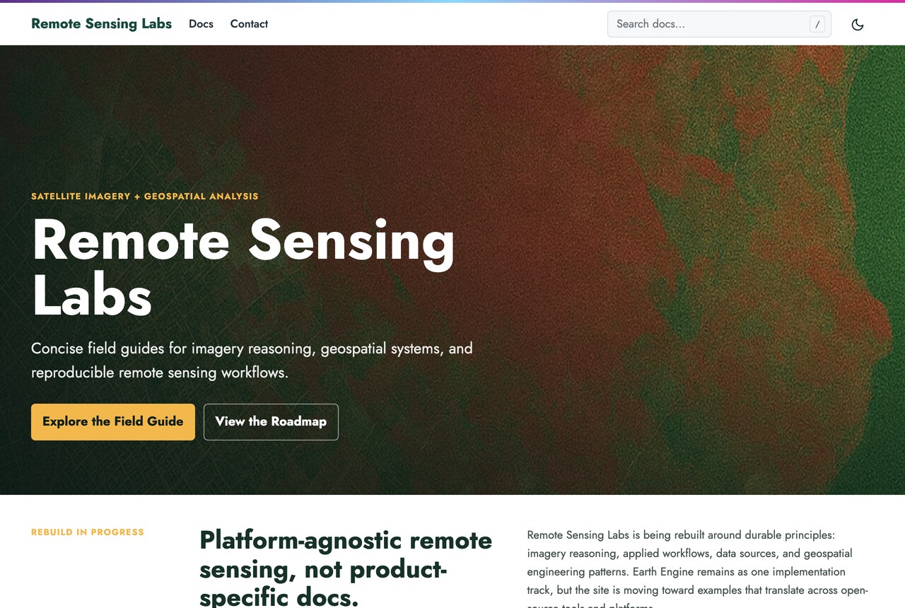
Remote Sensing Labs teaches satellite imagery, geospatial analysis, and reproducible remote sensing workflows. Its material is organized as a browsable field guide rather than a blog: 70 tutorial pages grouped into sections that include core concepts, data sources, applied workflows, implementation tracks, engineering practice, and exercises, so a reader can follow a thread from first principles through to a working method. The site is deliberately concept-first and platform-aware — Earth Engine remains one implementation track rather than the subject, and the writing aims at reasoning that survives a change of tooling.
How it works
A Zola static site built on a local copy of the AdiDoks documentation theme, with all content authored as Markdown under content/docs/. Interactivity is kept to small ES modules loaded per page — tabbed code samples, copy-to-clipboard buttons, figure handling, and Mermaid diagrams — rather than a client framework, so pages stay fast and readable. The deploy build runs zola check --skip-external-links followed by zola build; the extra content and link-integrity shell scripts in the repository are local checks rather than build steps. The site deploys to Vercel.